The Hidden Valley trail is a befitting moniker, as the task of finding the actual valley took up the entire duration of my afternoon. The trailhead for the hike is very accessible, as it is located directly in the middle of a residential areas with clear signs pointing to the start of the first trail. Coined the “Mormon” trail, the path starts off with an almost immediate incline – not a very steep one, but enough to make your quads start feeling it immediately. As you go up, you will soon begin to hear the hustle and bustle of Phoenix (or the suburbs of Phoenix, more like) dissipate behind you.
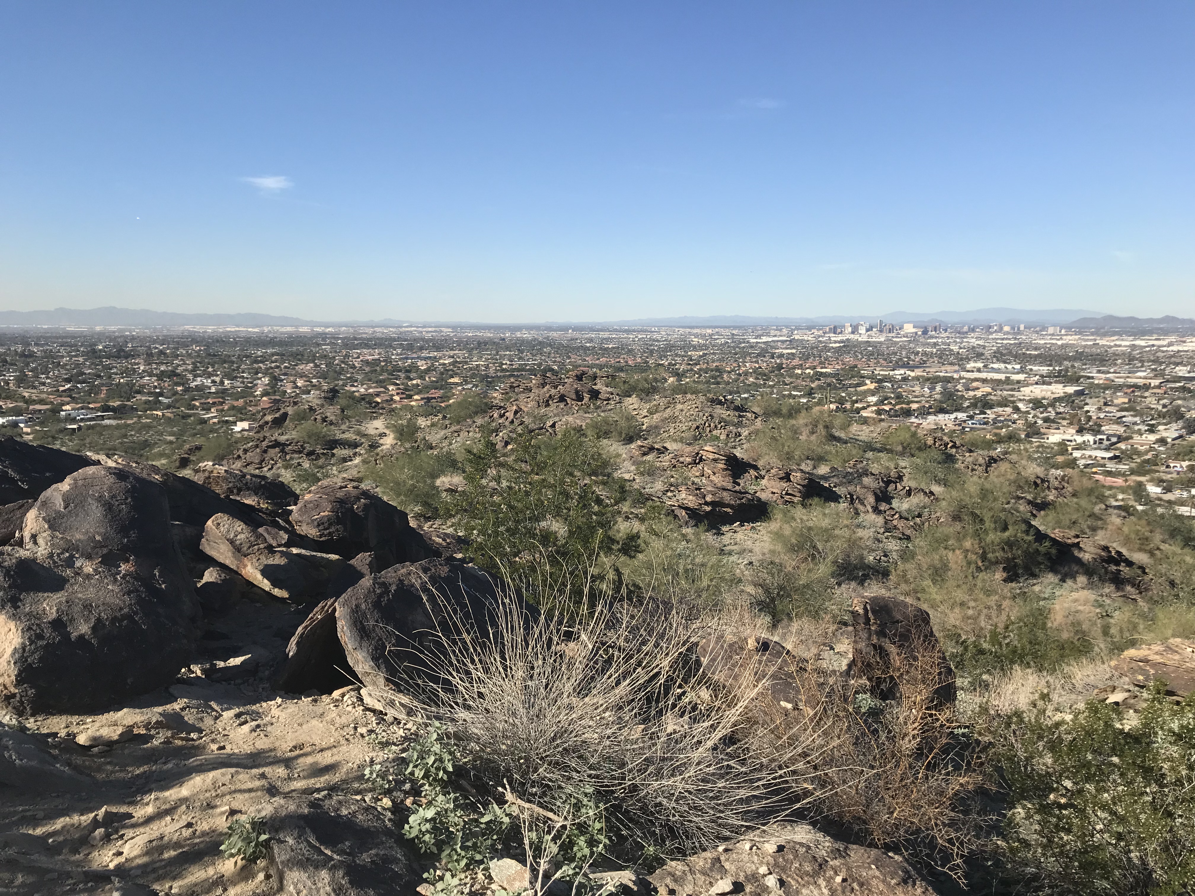
Although the beginning of the Mormon trail (who am I kidding – the entire trail) is rocky, I was excited that most of the rocks here acted as large flat stepping stones, as opposed to the small, sharp chunks of gravel lining the Echo Canyon trail up Camelback Mountain, which you basically have to pray to God himself to avoid slipping on. Now, if you happen to be a pro trail runner (as unsurprisingly, many natives from Arizona are), disregard the previous statement and keep reading.
The best thing about the Mormon trail is that the scenery varies so much. As you make your way through the zig-zags of the ascent, you are primarily surrounded by large rocks and, get this, more large rocks. However, once you reach the apex, the rocky landscape around you gives way to a valley in which you’ll feel as if you are truly in the middle of the desert – surrounded only by sand, cacti, and the occasional lizard running across your path. I was fortunate enough to come on a Thursday afternoon, where most people were still at work, so I had the entire portion of this trail to myself.
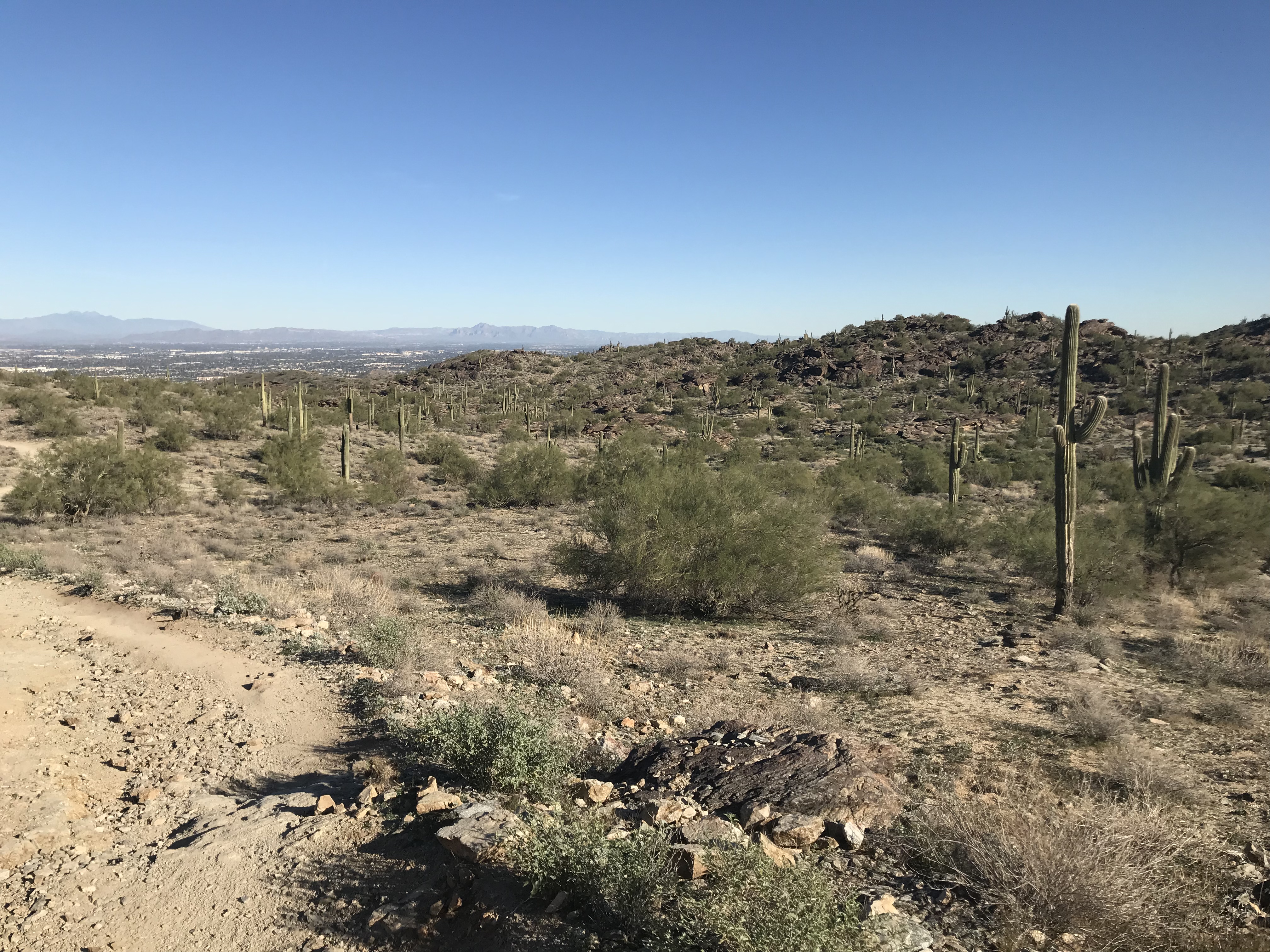
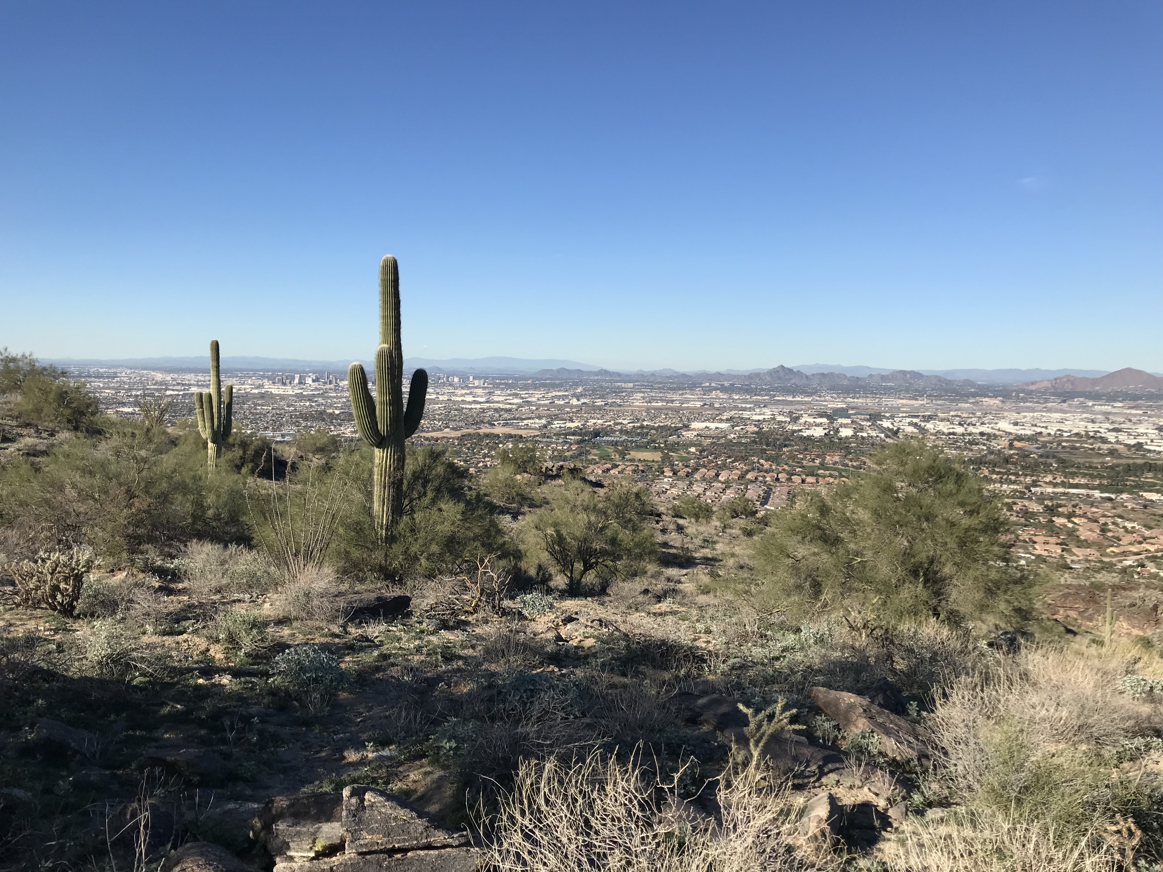
When you finish following Moses and finally make it out of the desert, you will see the city of Phoenix and the entire valley laid out in front of you as you continue on your exodus. This was probably my favorite part of the hike, although Hidden Valley later on probably came in second.
You should soon approach a junction where one trail will lead you to the full Mormon Loop (another ~1.3 miles), and the second trail will lead you to the “National Ridge” trail, which I had read was 13 miles long. Whoever created this sign needs to be fired immediately because apparently, following the directions to the National Ridge trail is how you can most directly find Hidden Valley and Fat Man’s Pass (the two landmarks I was hoping to see), which I learned about an hour and a half after I made the mistake of following the Mormon Loop.
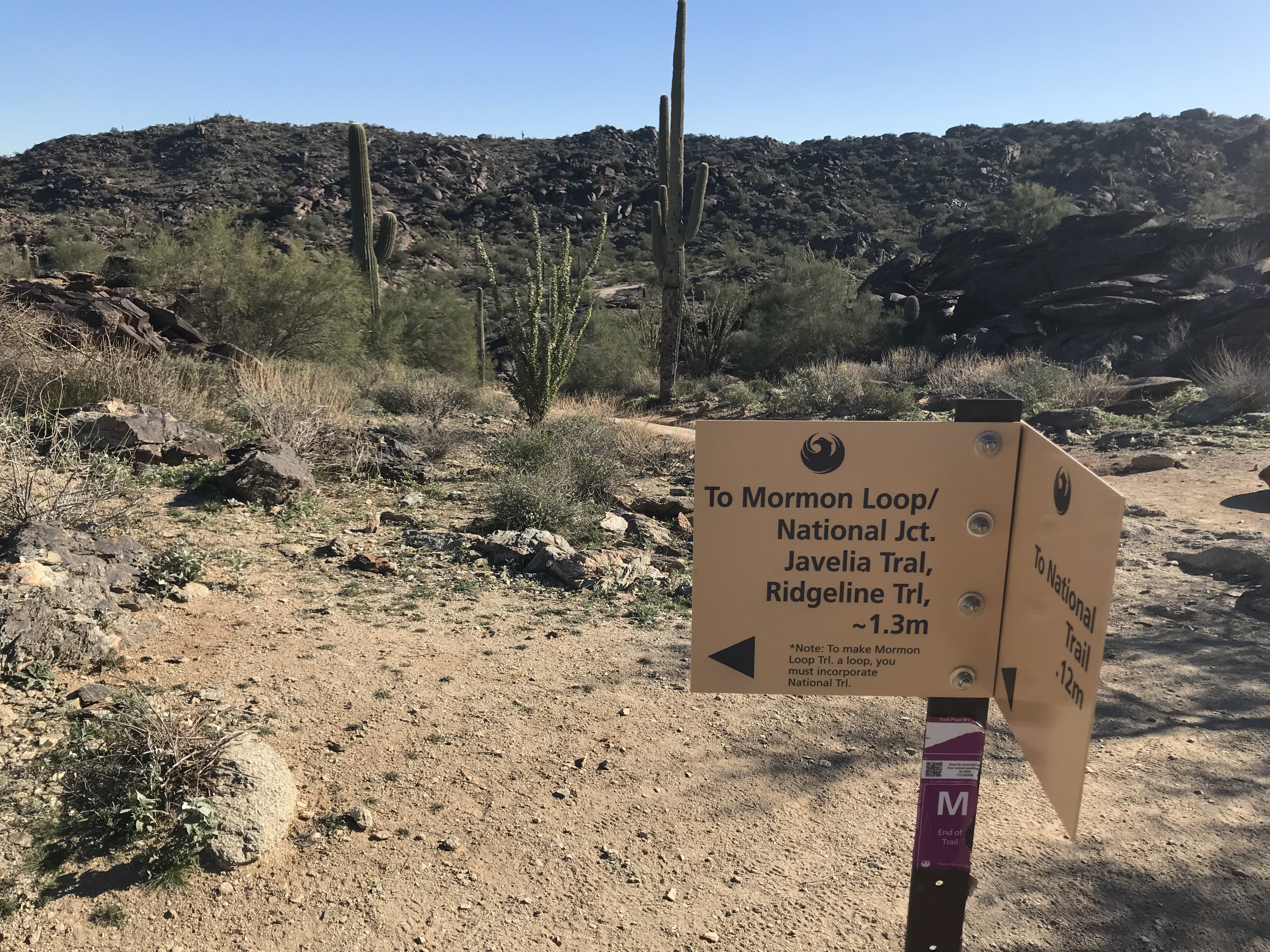
Now, continuing on the Mormon Loop the way I did is not a poor decision if you have a few hours to kill and want to take the scenic route. As for myself, however, a solo female hiker who picked a hike time dangerously close to sunset, I decided that I should save getting eaten by coyotes for another day. I followed the Mormon Loop for another 0.5 miles, during which time I still was unable to find Hidden Valley Ranch. I finally decided to ask a couple passing by me for directions and, although the husband kept calling it “Fat Man’s Crack” (which in all honesty is a name that I appreciate more than the original), he basically told me that if I continued on this loop to see both stops, I would make it back to the parking lot in another ~3 hours. They directed me back the same way I had just come from and told me if I high-tailed it, I might just make it to see the famous valley and “Fat Man’s Crack” before dusk could creep in.
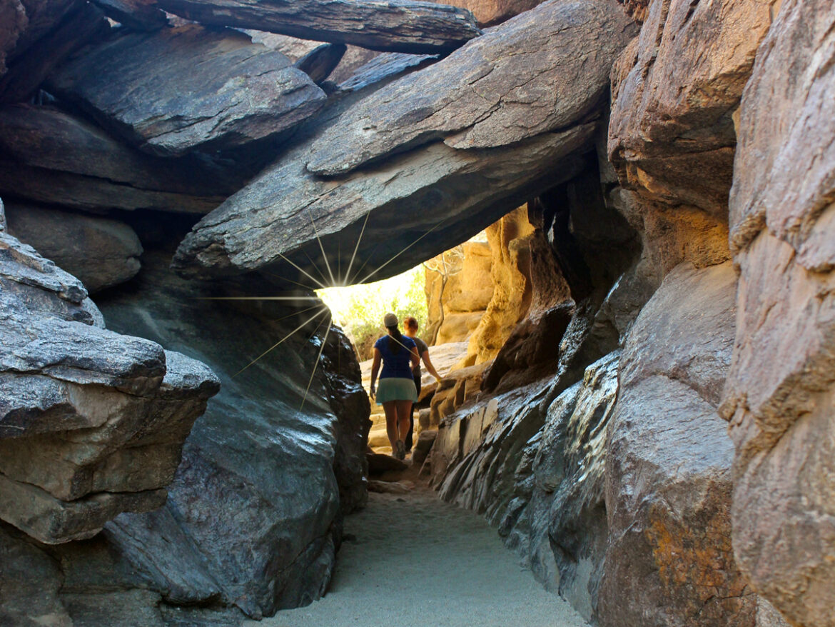
Reaching the pass does require a fair bit of rock climbing – or scrambling, in my case. However, take comfort in the fact that the actual rock climbing requirement is only a 10-minute portion of the hike. I almost didn’t recognize the signature Fat Man’s Pass when I stumbled across it because it looked like every other narrow rock formation on the Hidden Valley Trail.
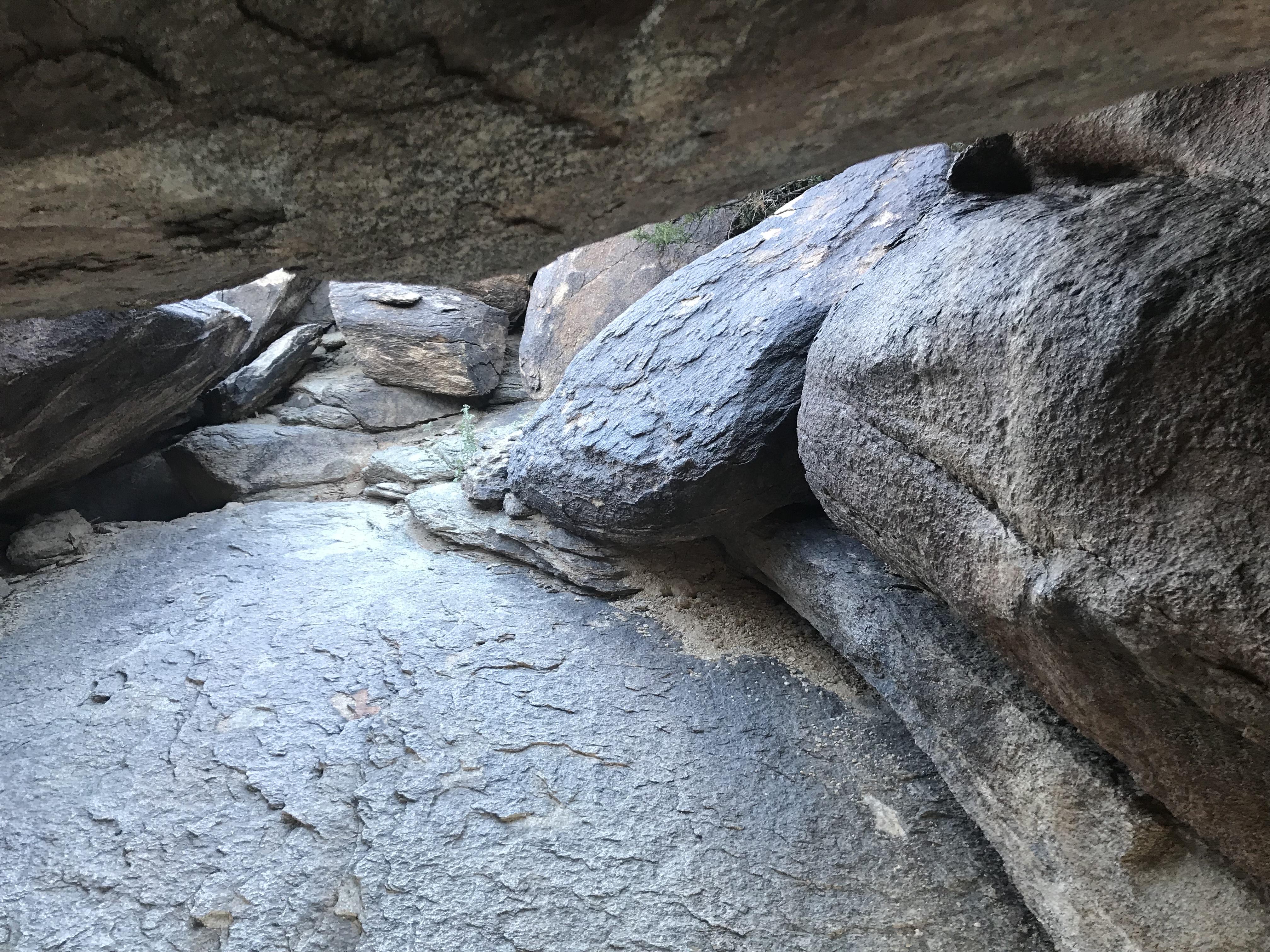
Once you squeeze through Fat Man’s Pass (“squeeze” being an objective term as you probably have to be over 250 pounds to be unable to make it through – the struggle is more so trying to avoid concussing yourself on the massive jutting rocks dangerously close to your head), you’re home free – well, at least with rock climbing. After you make it back to the “0.12 m left till civilization, or the main trail” junction, you have exactly that distance left to high tail it back to the Mormon trail.
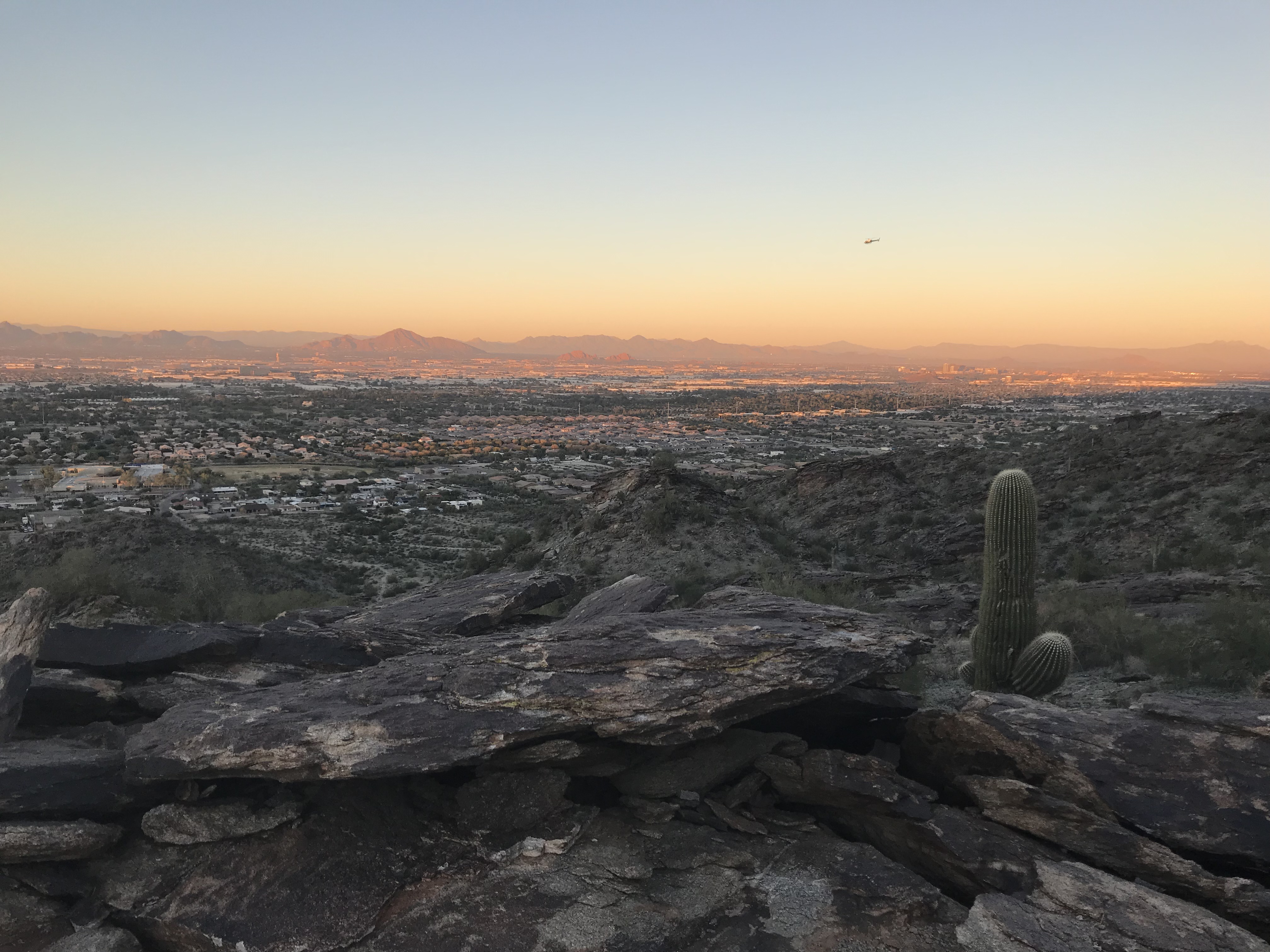
If you are making your descent down South Mountain just before sunset as I did, my recommendation would be to stop for a moment and marvel at the sky blazing bright pink and red as the sun sets over the horizon. Contrary to what the name of the trail suggests, you should probably treat yourself to a glass of wine (or three) when you finally make it back to the Mormon trailhead parking lot.

